Big Bend
Posted in : Uncategorized on by : Bill York
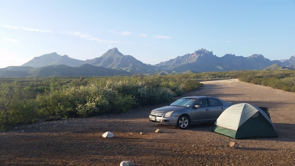
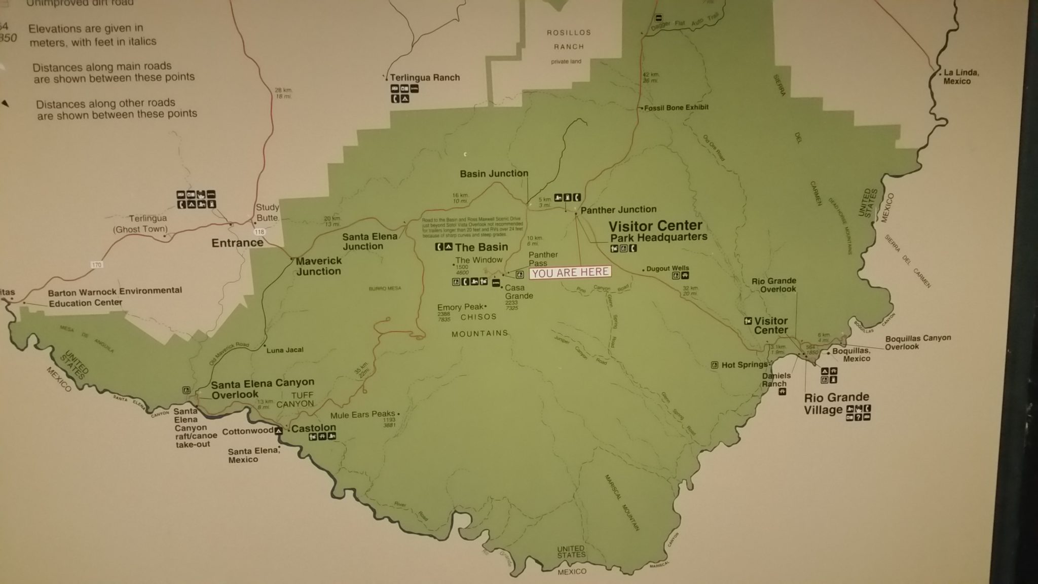
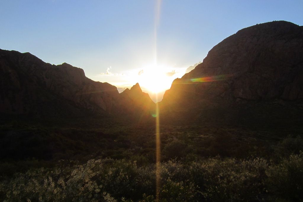
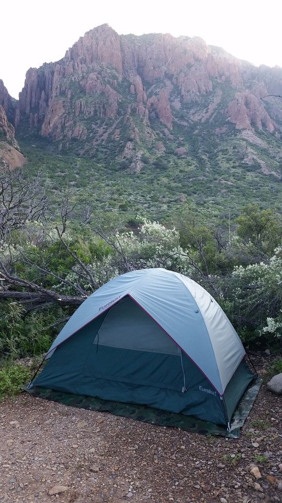
I went to Big Bend National Park which is in southwest Texas, along the Rio Grande and border with Mexico. The geography is really interesting there. The Rocky Mountains extend into the western portion of the park. A remnant of the Application mountains can be found on the eastern part of the park and there is a volcanic range, called the Chisos Mountains that are fully contained within the park. In fact that is the only range of mountains that are fully contained within a national park. Big Bend is in the northern end of the Chihuahuan desert. Normally it is hot and dry there but the rains that caused the flooding in Louisiana had been pushing along ahead of me through Texas and cooling it off. They had an inch of rain in Big Bend the day I arrived. I arrived late in the day on August 22 and camped 2 nights in the park. The first night I found a rustic campground, which is just a clearing where you can pitch your tent.
Contents
Rio Grande Village
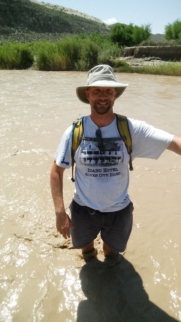
The first full day I was there I went to the Rio Grande Village. I hiked down to the river which was high and muddy due to the recent rain. It’s not very big and could easily be swam across.
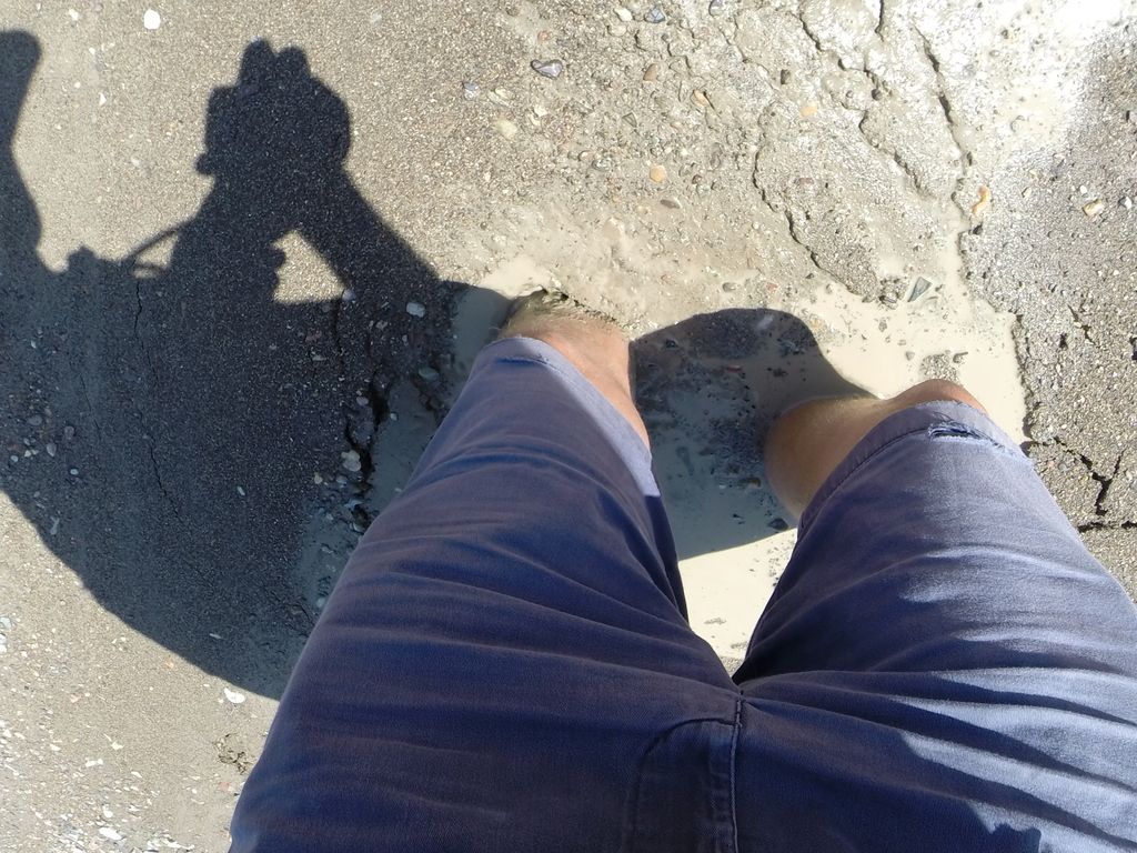
I stepped in a soft spot of sand and sunk in as I was on the bank in an area when the river had been over recently.
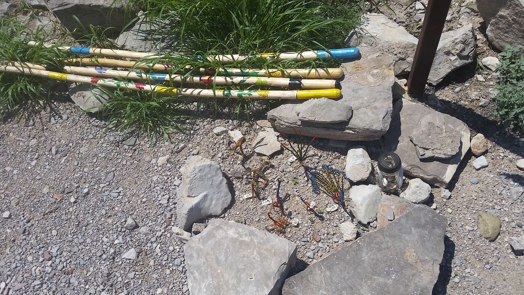
The Mexicans come across by boat on a regular basis and setup little self service shops where they leave home made goods that are marked with a price and a jar for Americans to leave money.
Boquillas Canyon
At the Boquillas Canyon Overlook the Mexicans are selling their trinkets on the honor system.
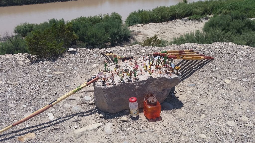
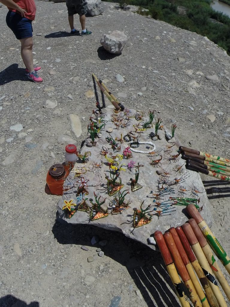
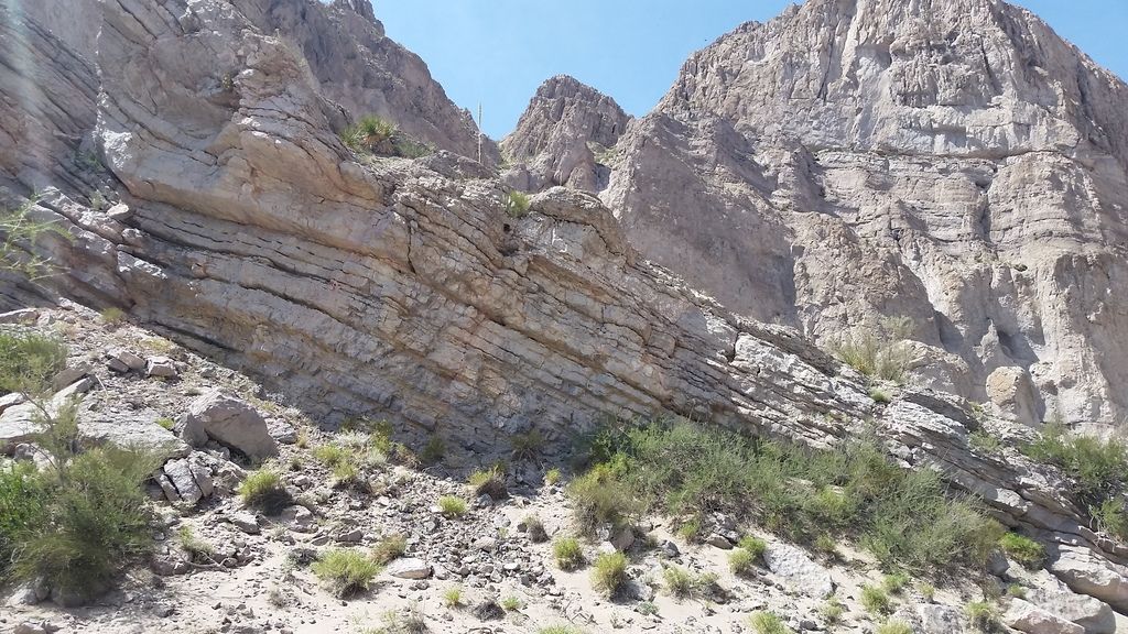
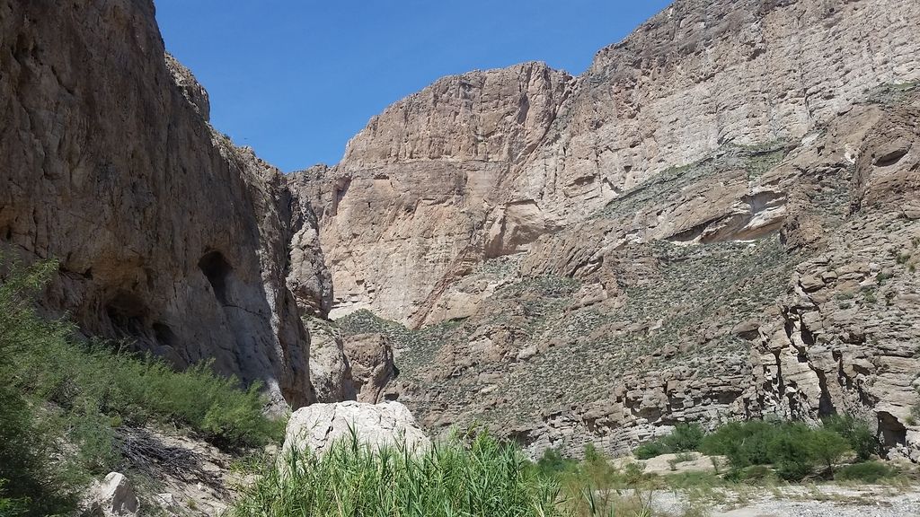
I continued on to the east of the Boquillas overlook and hiked along a trail that lead into the Boquillas Canyon.
Chisos Mountains
In the afternoon I headed up in to the Chisos Mountains. First I went over the summit and down into the basin to check it out and then hiked a trial to a lost mine. It was getting late in the day and I didn’t want to finish in the dark so I didn’t go all the way to the mine but I was able to see some beautiful scenery.
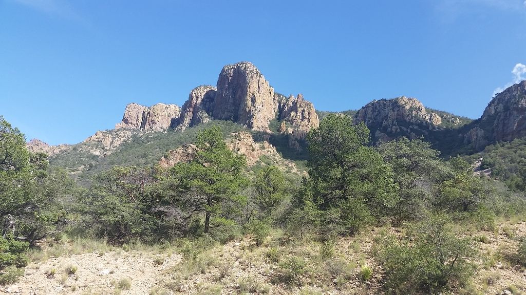
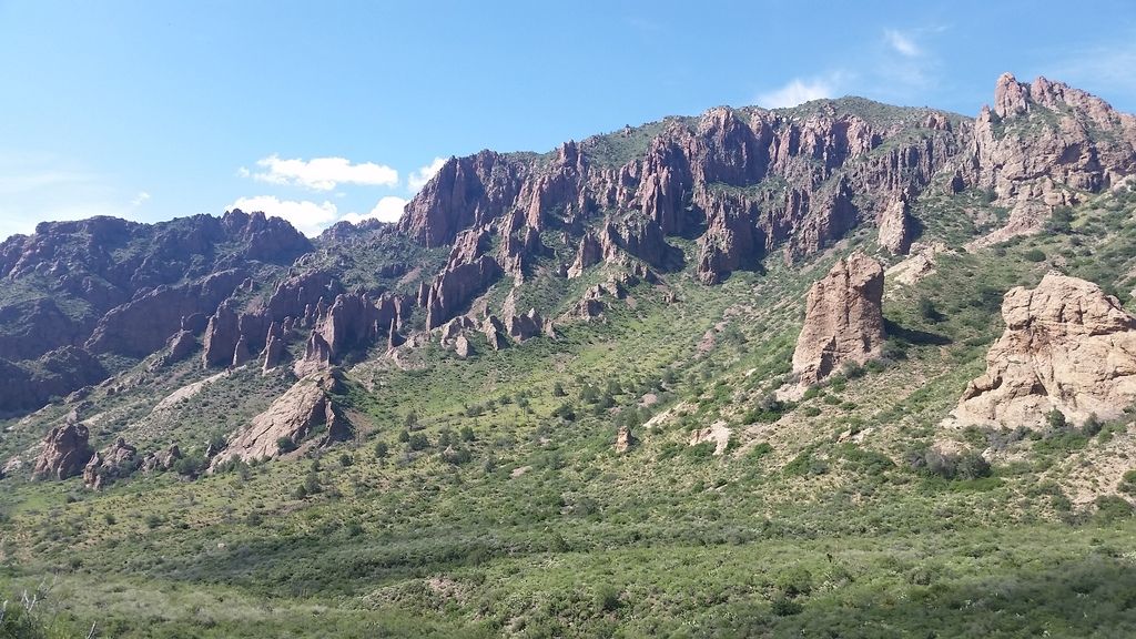
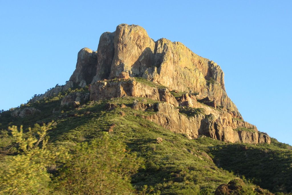
I then headed back down into the basin of the Chisos Mountains and found a campground. This was the only part of the park that was somewhat busy, but there were still plenty of campsites available. In other parts of the park it felt like I had the whole place to myself.
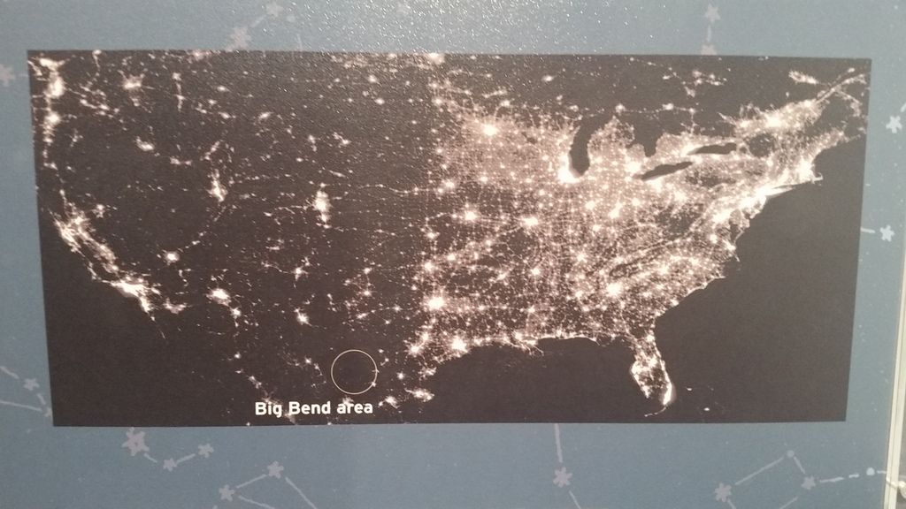
Big Bend is a great place to go star gazing. That night I was able to see Mars, Venus, and Antares without a telescope. (I learned later what I had seen in the night sky).
Ross Maxwell Scenic Drive
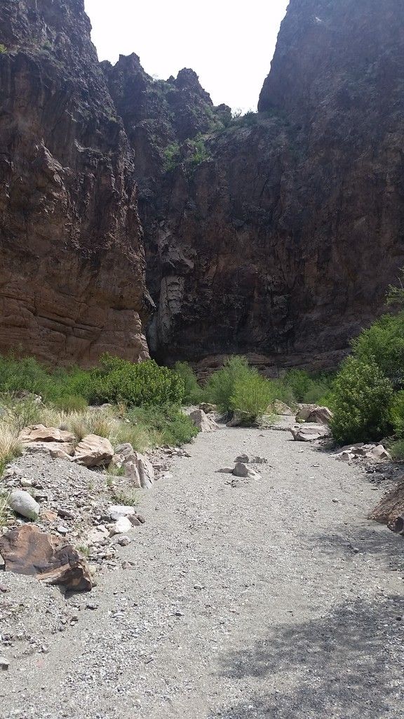
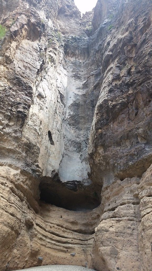
The next day I came down out of the Chisos Mountains and headed to the southwest portion of the park. I drove along the Ross Maxwell Scenic Drive which offers great views of the Chisos Mountains and surrounding area. I went up this little side road and hiked up a trail to a dry falls, called the Burro Mesa Pouroff. The ironic thing is that it rained later that day so it was probably flowing then, but I didn’t go back.
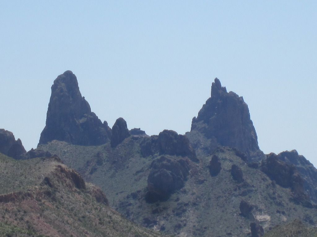
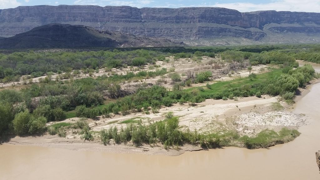
I continued on along the road which has several scenic turns offs and eventually is along side the Rio Grande.
Santa Elena Canyon
At the end of the road is the trail head for Santa Elena Canyon. To hike up into Santa Elena Canyon you first have to cross a tributary to the Rio Grande which is was about thigh deep on me. The bottom of the creek is rocks on the north side, but muddy on the south side. I didn’t have a problem climbing out of the river on the bank on the far side, but it looked like some people did.
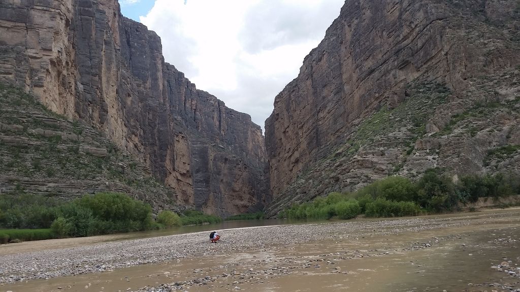
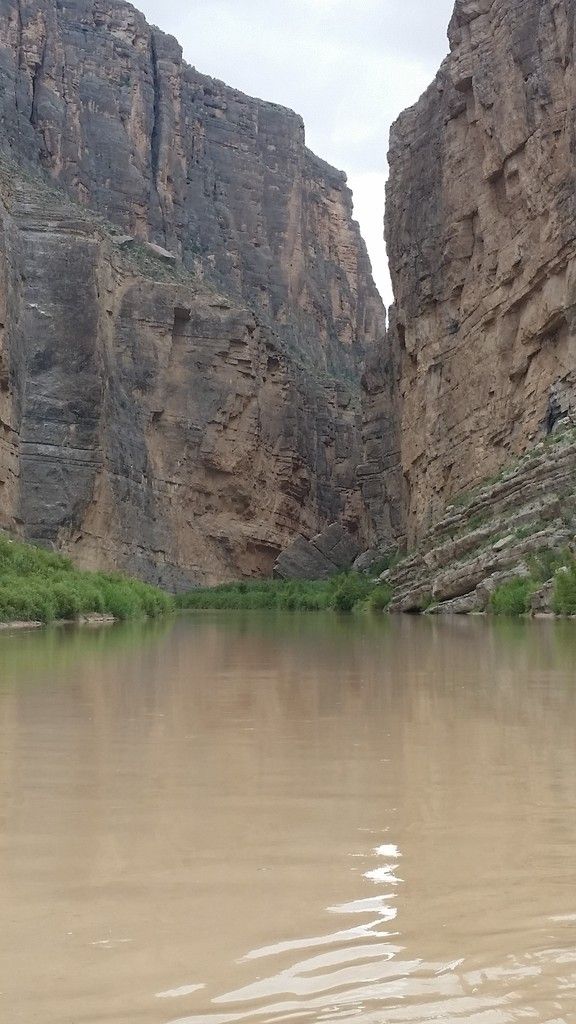
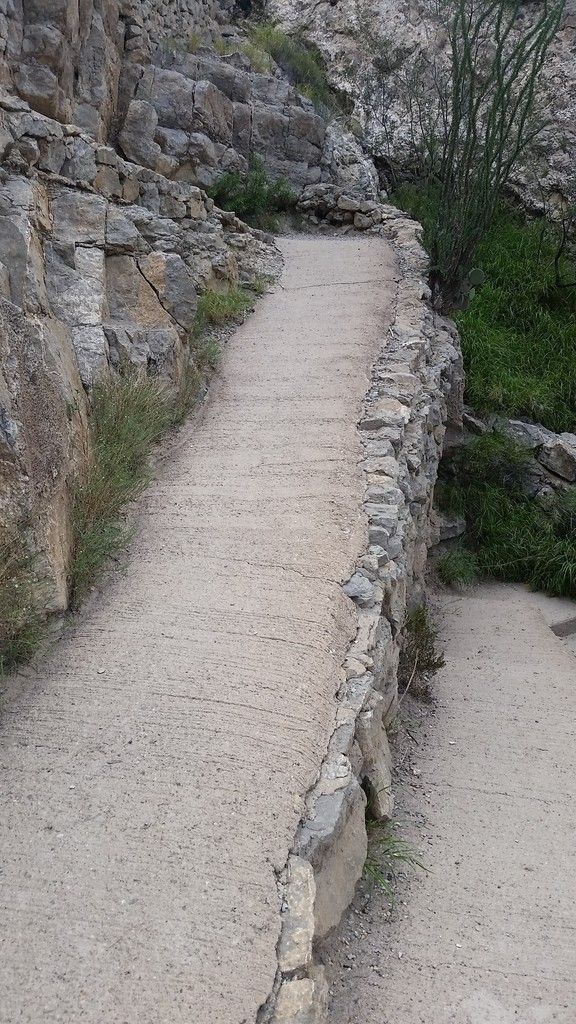
Once across (you are still in the US) there is a series of paved switch backs and steps up to an overlook into the canyon. The trail then drops back down as you hike into the canyon. It is a beautiful canyon.
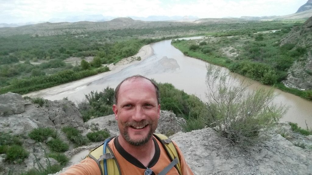
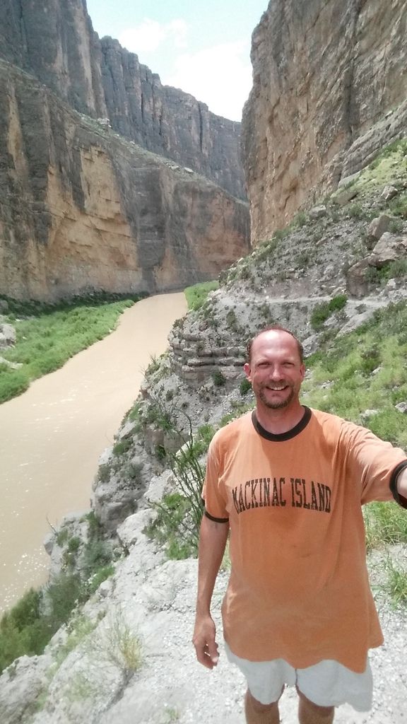
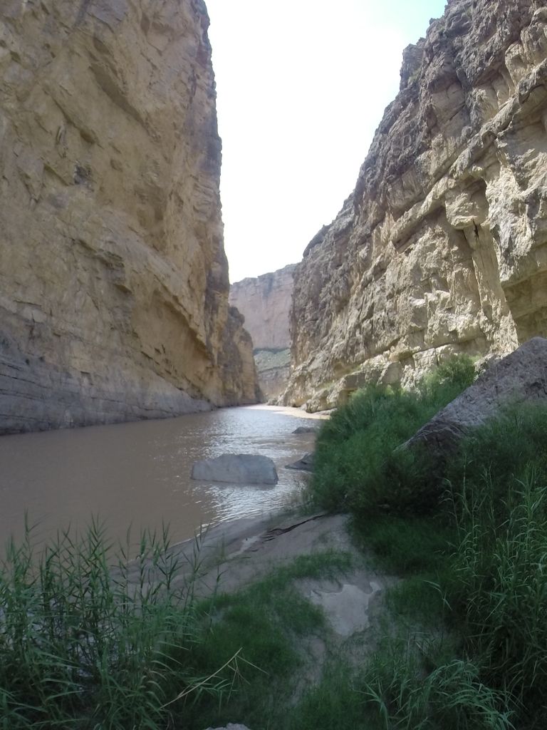
I went as far as the trail goes. After that the river is from wall to wall in the canyon. The flow rate on the Rio Grande is much greater, and the water deeper than the Virgin River is through the Narrows in Zion, so you can’t go any further.
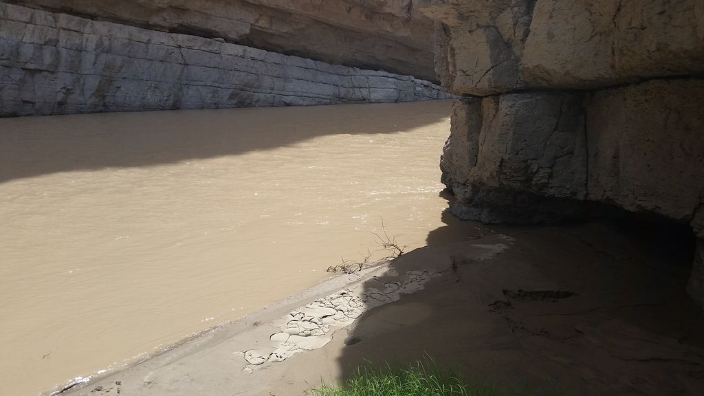
As I was hiking in the canyon I could hear thunder in the distance. As I was on the way out it was getting closer. I crossed back over the tributary and got to the car before I felt the first rain drop.
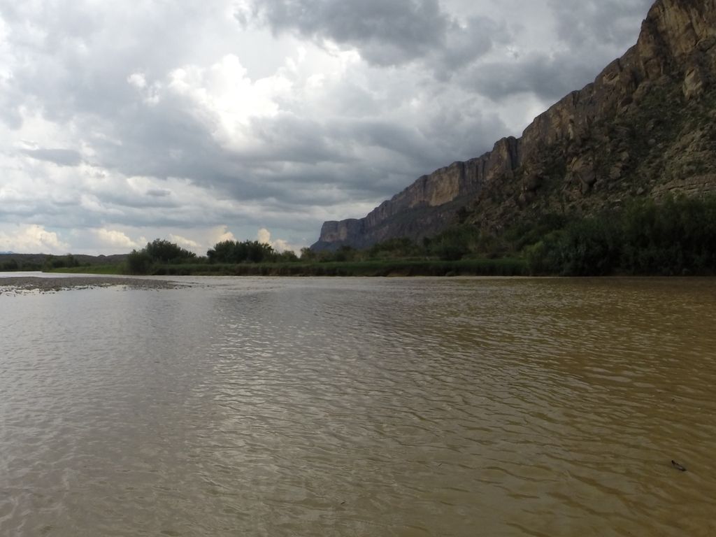
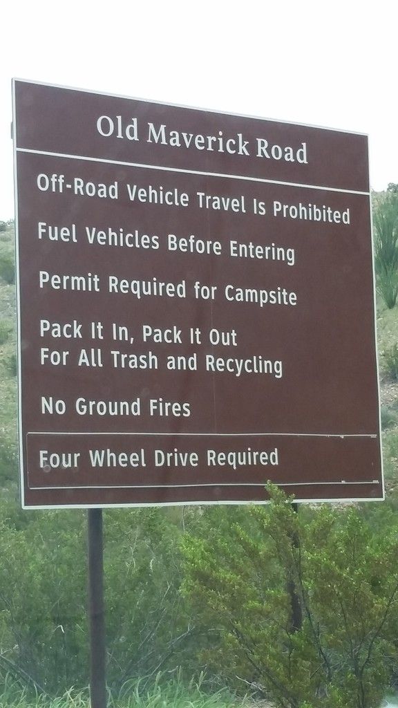
I considered taking a short cut to the western exit from the park but it was up a dirt road. I went a short way on the road before turning back and going the long way around. I realized it would be best in a four wheel drive vehicle with high clearance and I didn’t want to get stuck out there in a thunderstorm.
The storm was awesome and it kind of chased me out of the park that day. I stopped at one point to watch the lightening, but when the rain started coming down in sheets I continued on. The ranger had suggested going thru the town of Lajitas, TX after leaving the park, but that would have been going back into the Thunderstorm and it was getting later in the day. I will have to go that way on another trip (if I go back that way again). After dinner I headed north and ended up camping in Fort Davis, TX.
P.S. The pictures are stored on Photobucket and you can see more of them there.
[TheChamp-FB-Comments]
